Rivers and Streams
|
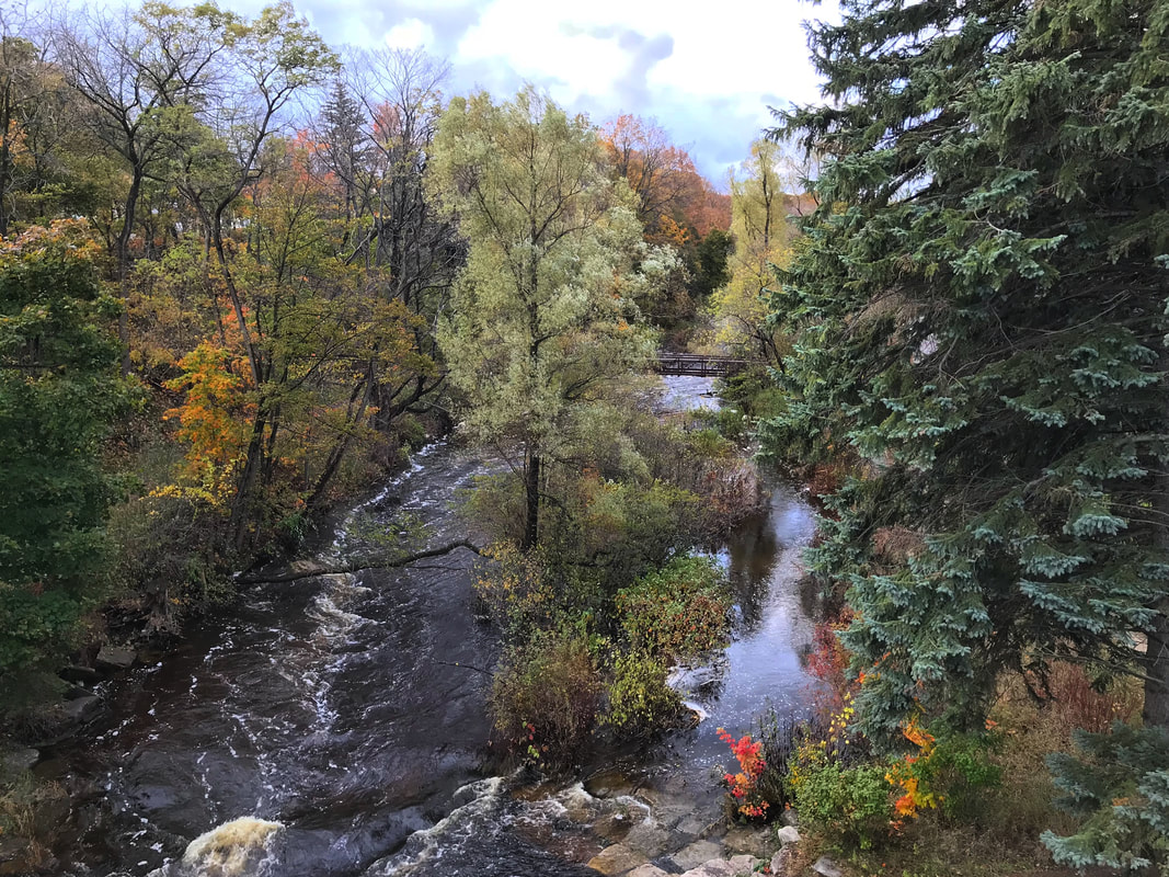
The Watershed Council service area contains approximately 3000 miles of rivers and streams, which spread across the tip of the mitt in an intricate network. As part of the hydrologic cycle, this network acts as a circulation system, interconnecting the abundant lakes and wetlands in the region and conveying water from inland areas to the Great Lakes. As an erosive force, the rivers and streams gradually eat away at the landscape, transporting sediments downstream. Due to pristine watersheds, the tip of the mitt possesses some of the world's healthiest rivers and due to groundwater inputs from sandy soils, cold-water fisheries are common throughout the region, including several blue-ribbon trout streams.
|
|
Although lakes are often held in greater esteem in the public eye and thus, receive greater public attention, streams ecosystems are equally important. In fact, it could be argued that stream systems are more important as almost all lakes depend on streams to some degree to deliver water, minerals, nutrients and more, whereas streams are generally not dependent upon lakes. Beyond supplying such essentials to lake systems, streams are valued for their biological function. Streams generally contain a very diverse assemblage of aquatic macroinvertebrates and provide critical habitat for the reproduction of many fish species.
Recognizing the value of the rivers and streams of northern Michigan, the Watershed Council has invested a lot of time and energy into monitoring, protecting and improving these critical waters. Watershed Council staff monitor water quality of a number of large rivers as part of the Comprehensive Water Quality Monitoring Program and several smaller streams are now monitored by volunteers through our Volunteer Stream Monitoring program. In addition, numerous projects have been carried out by Watershed Council staff to restore stream systems by stabilizing eroding stream banks, removing dams, and addressing impacts of road-stream crossings. |


